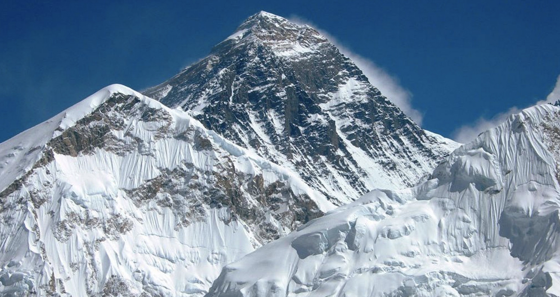
The country Nepal is known with the world’s highest mountain, Mt. Everest. According to the survey conducted by India 170 years ago on 1954, the height of Mt. Everest was measured 8,848m from the sea level which till today is considered the same. In times many people came with different measurements but it had not been recognized. Which after so many years the ministry of Land Reform and Management assumed that the height of Mt. Everest might have been changed which is the reason backed by the recent earthquake too. In contrast, government fixed to measure the height of Sagarmatha on 2015 where “The Ministry of Land Reform and Management had proposed that Nepal itself should calibrate the height of Mt Everest using own resources and manpower.
Accordingly, the government has prioritized the program and allocated the budget of 20million for this purpose where the additional money was to be assured by Ministry of Finance as well. For the survey of the Mt. Everest, government or department of survey has designated two-member expedition – Khimlal Gautam as a leader and Ravin Karki as a survey officer. The team was supported by Mr. Chhiring Jangbo Sherpa (international mountain guide). For the survey, Meera Acharya was selected as a head at the DoT’s mountaineering section as its liaison officer. And the team conducted 1 hour 16 minutes GNSS observation and GPR survey while measuring the height.
On the verse of measuring the height of Mt. Everest, it has been started in February of 2015 from the Madar in Siraha District where 170 kms of precise leveling survey was conducted on year 2074/75 and is completed. Moreover, according to fiscal year 2075/76 77kms of precise leveling survey has been completed. Thus, total precise leveling survey will be 247kms which has been complete till date. In addition, the gravity survey is being planned after the procurement/acquiring the gravimeters. Also, trigonometric survey is being planned for Falgun of the year 2076. For the further measurements Memorandum of Understanding (MoU) has been signed between Survey Department and Trimble, discussion on collaboration with National Geographic Society for Meteorological data acquisition is ongoing and also Discussion on collaboration with National Geospatial Intelligence Agency of USA for support on Gravimeter is in process of MoU. In addition, the Department of Survey has been discussing with BERN University for support on software license for GNSS computation is ongoing.
Now, In case of measuring the height of Mt. Everst 4 kinds of methodology or survey has been used; precise leveling, Trigonometric leveling, Gravity survey and GNSS survey which was finalized by consultation Workshop on 11-12 December. Precise leveling is conducted to carry height from the southern plains of Nepal to the selected control points. Trigonometric leveling is performed from selected control points (points to which height is carried by precise leveling). Moreover, gravity survey will be conducted to define the local geoid around the Everest. And finally, GNSS survey is conducted so to determine locations of gravity points, bench marks as well as top of Sagarmatha. The work of precise leveling will be performed upto the height around 4000 meters from the sea level. And trignometrical leveling will be performed above the areas from 4,000 meters because human and equipment’s cannot be taken there for the precise leveling easily. According to the DoS, the team is installing temporary benchmarks in every 200 meters and permanent benchmarks in every 2 km so that there would be no mistake during the measurement. The measurement has been completed to the height around 2,800 meters from the sea levels until October 28, 2018, according to DoS officials.
On the earlier measurement China has figured two different heights which is 8848 meter as a rock height and 8,850 as a height with snow but was considered from rock height 8,848 m as original measurement. But now, DoS has planned to measure both rock height and height with snow. It has however planned to involve foreign expert during the data processing to ensure international recognition for the measured height. Despite showing the more numbers in the expedition of a team (9 which must be only 2) which is a default, all other tasks of measurement of Mt. Everest has been continuing without a barrier. While many people in Nepal are unknown about the measurement there are also people who are known about the fact and is assuming it to be changed a bit because of platelets movement in Earth.
Thus, the survey department is all set with the project and it has targeted to complete the measurement producing result by 2019.